
General Information
| Completion: | 1960 |
|---|---|
| Status: | in use |
Project Type
| Structure: |
Cantilever truss bridge main span: Through truss bridge |
|---|---|
| Support conditions: |
for registered users |
| Function / usage: |
Road bridge |
| Material: |
Steel bridge Structurae Plus/Pro - Subscribe Now! |
| Plan view: |
Structurae Plus/Pro - Subscribe Now! |
Awards and Distinctions
| 1960 |
award winner
for registered users |
|---|
Location
| Location: |
Dover, Kent County, Delaware, USA Newark, New Castle County, Delaware, USA |
|---|---|
| Address: | US 301 / DE 71 / DE 896 |
| Coordinates: | 39° 32' 28.88" N 75° 44' 17.36" W |
Technical Information
Dimensions
| main span | 55.72 m | |
| total length | 191.20 m | |
| deck width | 5.49 m |
Materials
| piers |
reinforced concrete
|
|---|---|
| truss |
steel
|
Excerpt from Wikipedia
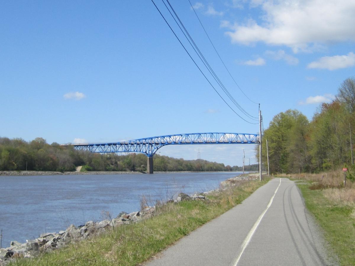
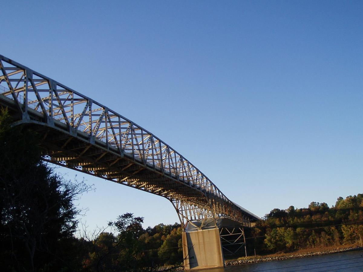
The Summit Bridge carries Delaware Routes 71 and 896 across the Chesapeake & Delaware Canal. The bridge also carries Delaware Bicycle Route 1, a bicycle route that spans the length of the state of Delaware, across the canal. Opened in 1961, the Summit Bridge was the second four-lane high-level crossing in Delaware and was designed to carry an eventual US 301 freeway, however that planned freeway was never built. US 301 did use the bridge when it was routed along surface roads from 1961-2019, at which time it was rerouted onto a new toll freeway. The current bridge replaces a former swing span structure that was demolished when the U.S. Army Corps of Engineers rerouted the canal to a new sea-level channel south of Lums Pond State Park. A construction project on the approaches to the bridge was completed in Fall of 2012.
Text imported from Wikipedia article "Summit Bridge" and modified on 23 July 2019 under the CC-BY-SA 3.0 license.
Participants
Owner
Design
Steel construction

Relevant Web Sites

- About this
data sheet - Structure-ID
20050839 - Published on:
26/12/2009 - Last updated on:
05/05/2021
Structurae cooperates with


